December 20, 2013 La Union - Laoag
 Ilocos Sur and La Union boundary: Amburayan river.
 It's been a couple of weeks that I have been planning my northern trip. I have been there countless of times since most of my childhood summer vacation was spent travelling to the northern provinces with my cousins from Manila. For this tripped I was with Oliver and Emerson. I managed to convince Emerson to join us two days before the said trip. We agreed to meet at the Partas bus terminal in San Fernando by 9AM by Friday. A Laoag bound Partas bus came by 910AM on which we boarded. Along the way, I was recalling the familiar roads going to Ilocoslandia.
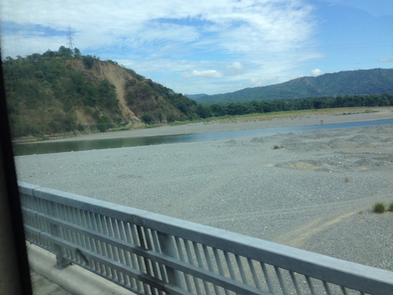
An hour later I saw the Amburayan river which meant the bus was already entering the first town of Ilocos Sur. The river starts at the Cordillera mountains then makes it way to the South China Sea. Soon, remnants of the colonial past were a sight as we travel further north. We passed by towns having saint names of which there is one who they forgot to name. The town's name is just Santa. There is this part of Santa where the view of the coastline is awesome. Rocks and fringing reefs with coralline sand can be seen on the west side of the road.
An hour later I saw the Amburayan river which meant the bus was already entering the first town of Ilocos Sur. The river starts at the Cordillera mountains then makes it way to the South China Sea. Soon, remnants of the colonial past were a sight as we travel further north. We passed by towns having saint names of which there is one who they forgot to name. The town's name is just Santa. There is this part of Santa where the view of the coastline is awesome. Rocks and fringing reefs with coralline sand can be seen on the west side of the road.
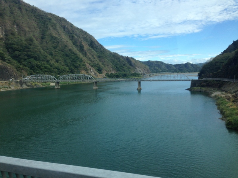 The Abra river and the Banaoang Bridge.
 Then later we were passing the Banaoang bridge which indicated that we were close to Vigan. We passed by the new bridge since the old one was damaged by a typhoon. It used to have a four span arch but now only three remains. A zipzone was built near the old bridge as part of the Ilocos Sur Adventure zone. One will have to zipride across the Abra river below. Fifteen minutes later we were in Vigan to stop by the Partas terminal. It was already past 1 o'clock and we were starting to feel hungry. The bus dropped some passengers and cargoes and picked up a few at the terminal. Minutes later, we continued the trip en route to Laoag City, a couple of hours more before we reached our destination.
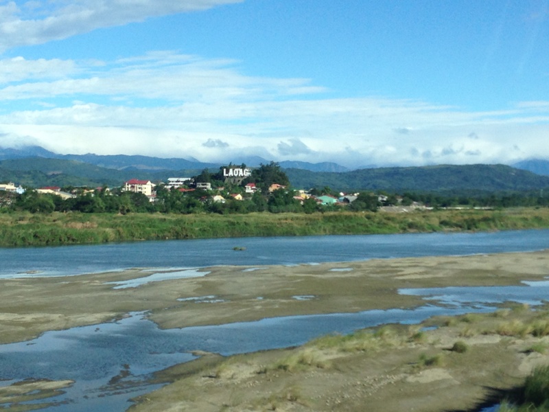 Passing through the Laoag river.
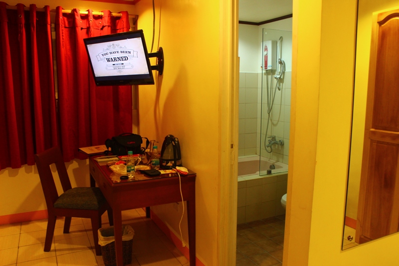
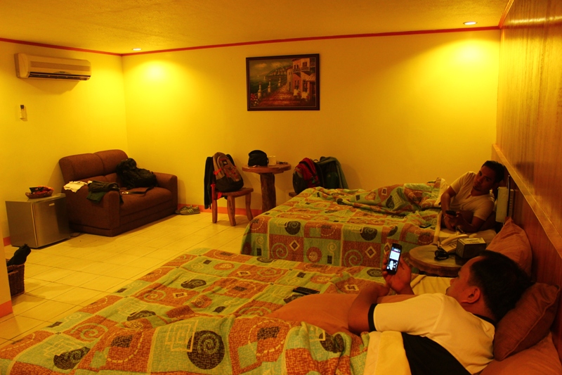
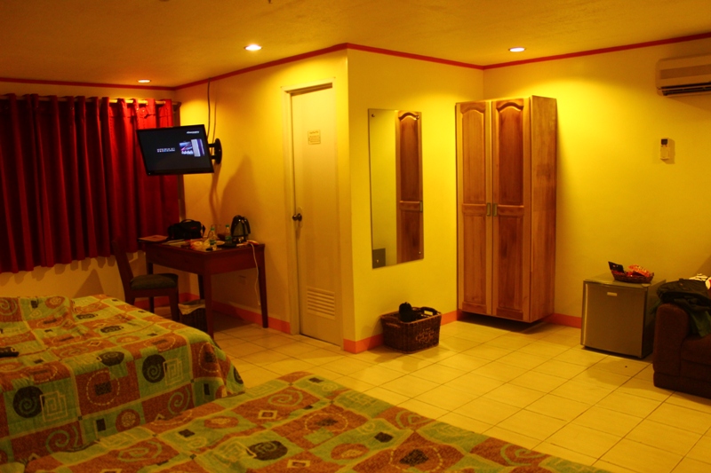
 By 3PM we were now traversing the Gilbert bridge. This bridge connects Laoag City to the southern towns like Batac and San Nicolas. We dropped by the bus terminal where we took a tricycle that brought us to Laoag Renzo Hotel along Rizal St. We were seven blocks away from the provincial capitol and city center so it was just a walking distance. We checked in on a junior suite room, left our things and went to have a late lunch. There was no time to rest so we explored nearby attractions. Just a few blocks away from where we ate is the Sinking belltower, on the next street. One could easily spot it because of its height.
The church and the state
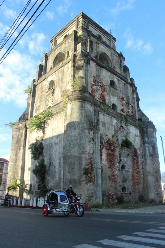
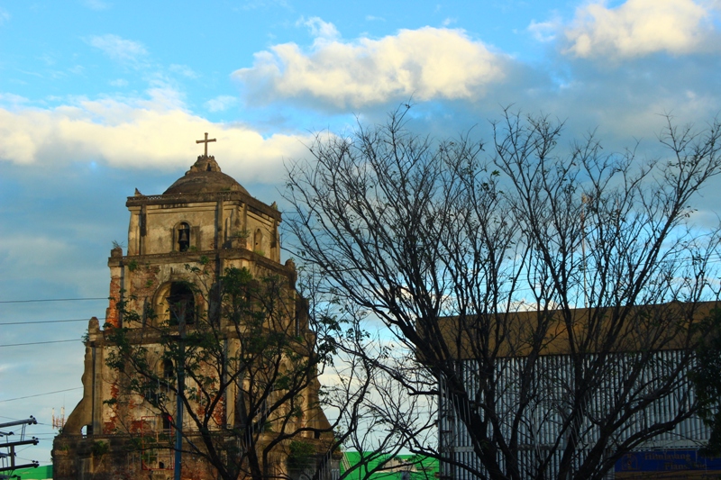
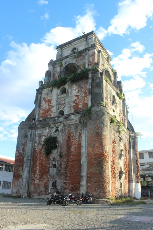 Back view of the Sinking Bell Tower.
 According to the marked plate on the Sinking bell tower, it is a centuries old 45 meter tall bell tower built by Augustinian friars in 1612. It was also mentioned that a person on horseback can previously enter its vaulted entrance without stooping. Nowadays, a person of normal height has to stoop to enter the tower door. The tower was built on sandy foundations and it was so heavy that it had sunk into the ground, thus earning its name as the Sinking Bell Tower. The tower is sinking at a rate of an inch per year. It is owned by the St. William Cathedral located 85 meters south, the farthest distance I had seen for a bell tower and a church.
 The Sinking Bell Tower from the street. 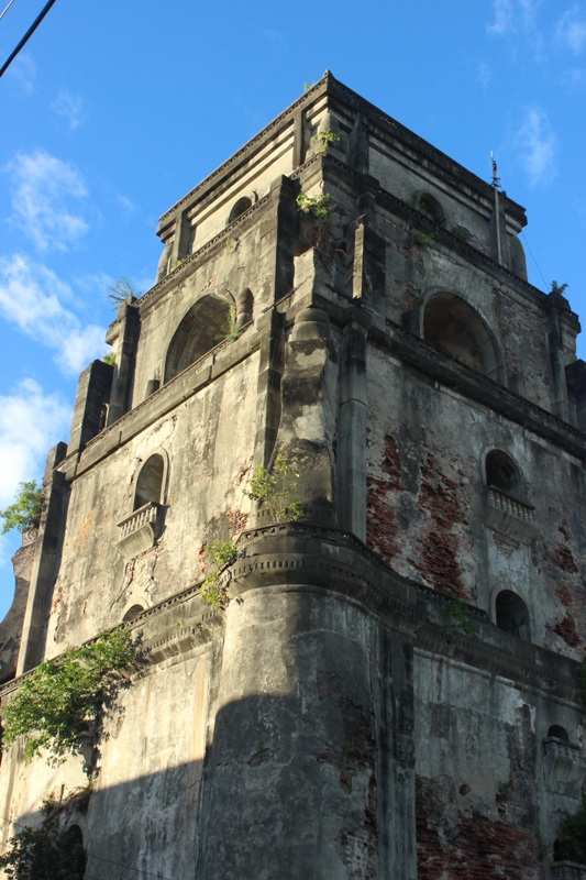 | 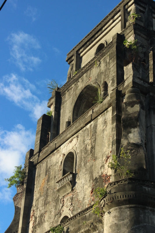 Details of the upper part of the bell tower. 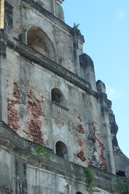 |
Located 85 meters south is the St. William Cathedral. It is also known as the Laoag Cathedral. The church was built in 1612 by Agustinian friars to replace a wooden chapel.
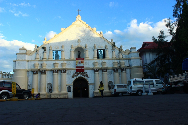
St. Willliam Cathedral of Laoag.
We went inside the church to say some prayers and check out its interiors. A spiral staircase will lead to a deck at the second floor.
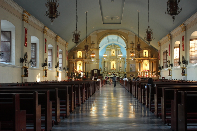 The long stretch of pews to the altar. 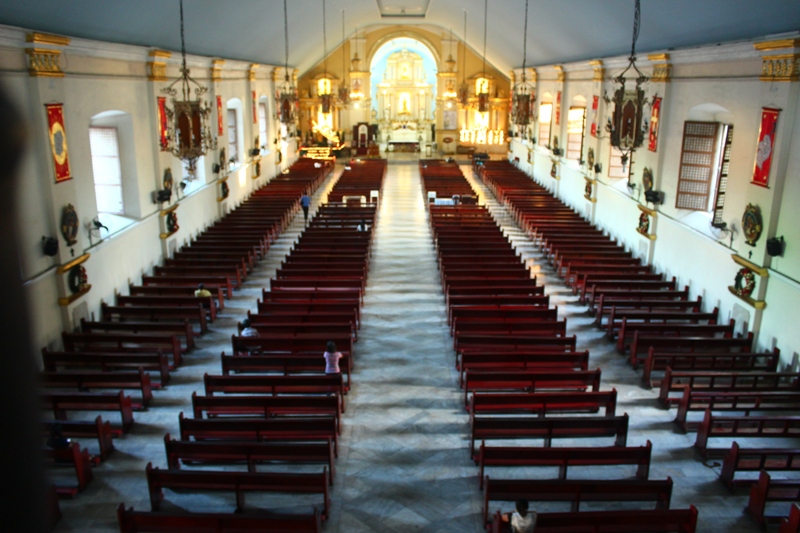 View of from the second floor. 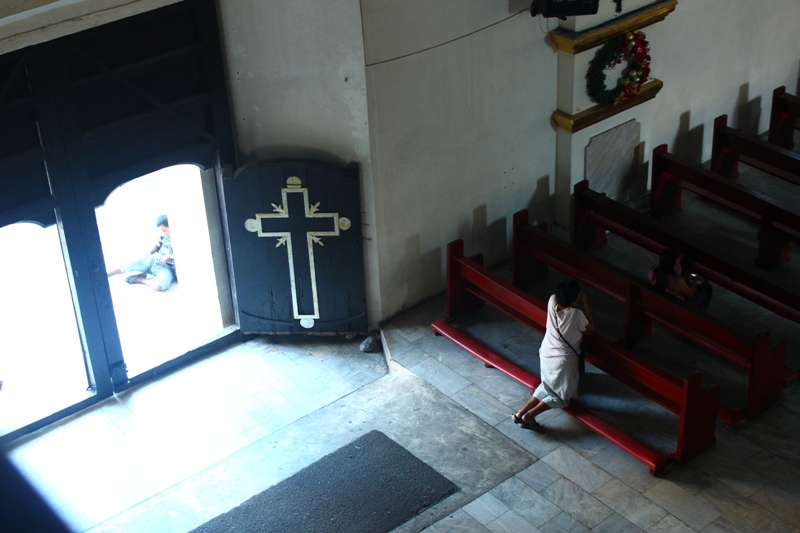 Saying their prayers. | 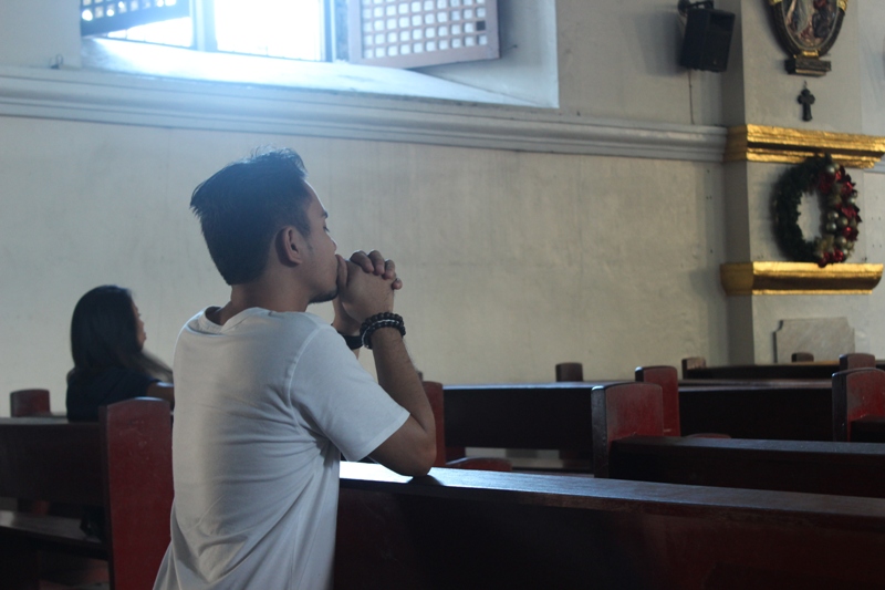 "Lord patawad"  Window art at the second floor. 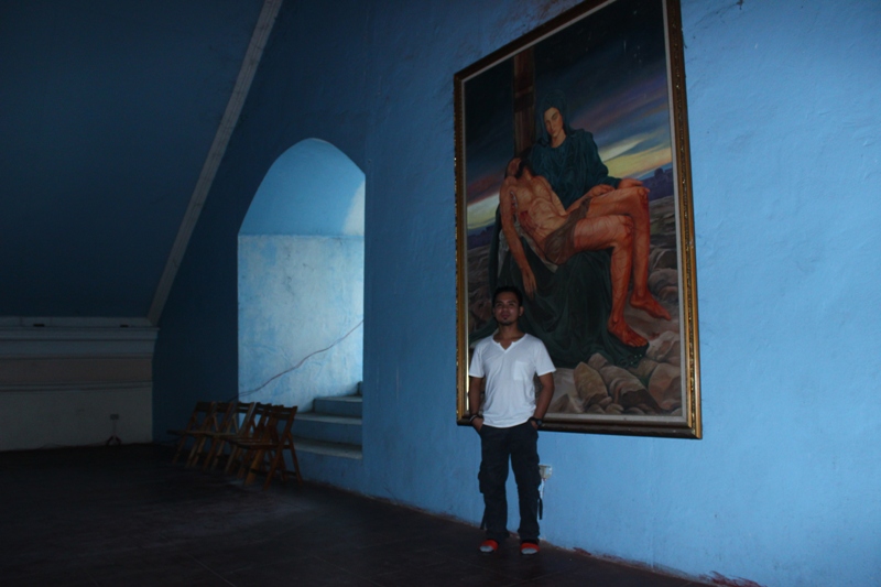 A painting of the Pieta behind Emerson. |
 Diorama at the city hall.
 We followed the street from the church that lead us to an underpass going to the city hall. Certain dioramas adorn the front of the city hall. The bell tower can also be seen from that side. Across the city hall is the Aurora Park where a fountain called Pamulinawen and the tobacco monopoly monument can be found. Pamulinawen is also the name of the lady perched atop the fountain. The Tobacco Monopoly Monument on the other hand is a tall brick monument that was built to thank King Alfonso XII for lifting the Spaniard monopolization of the tobacco industry.
 The Sinking Bell Tower as seen from the city hall.  Emerson with the Tobacco Monopoly Monument. 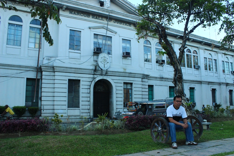 Oliver with the Marcos Hall of Justice at the background. 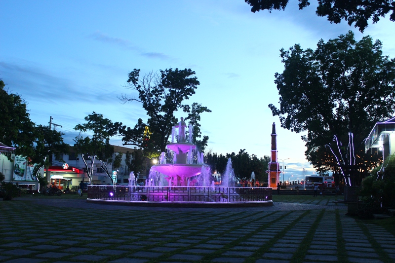 Pamulinawen Fountain and Tobacco Monopoly Monument by night time. | 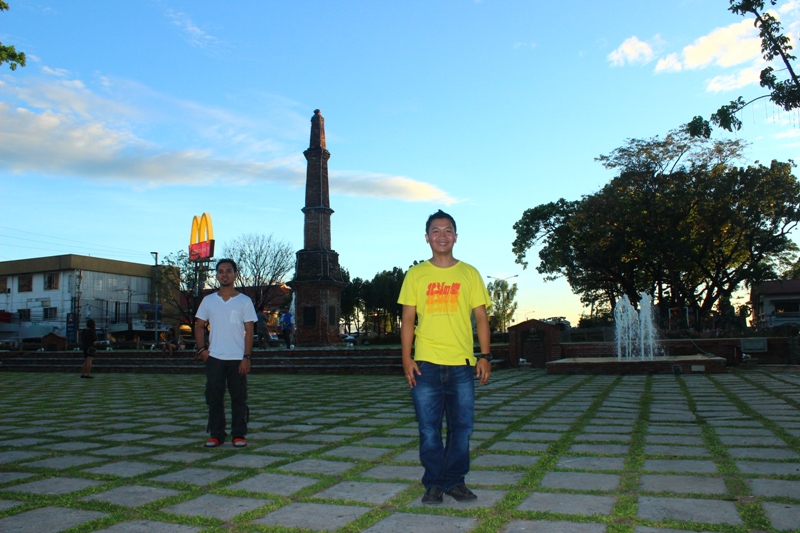 Playing around at Aurora Park. 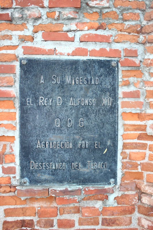 Marked plates in Spanish around the monument. 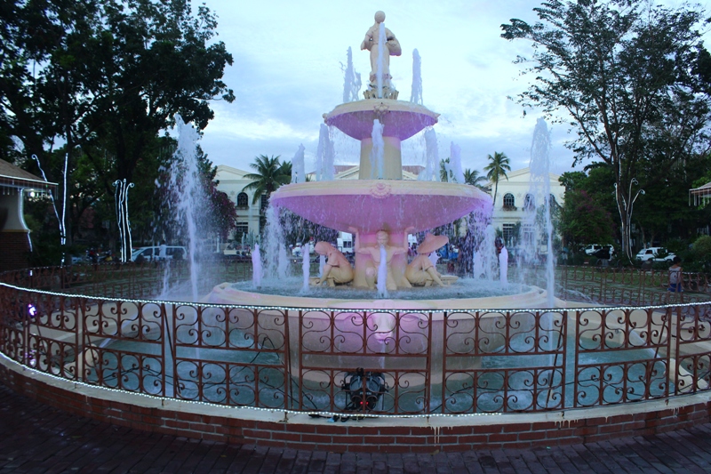 The Pamulinawen Fountain at Aurora Park. 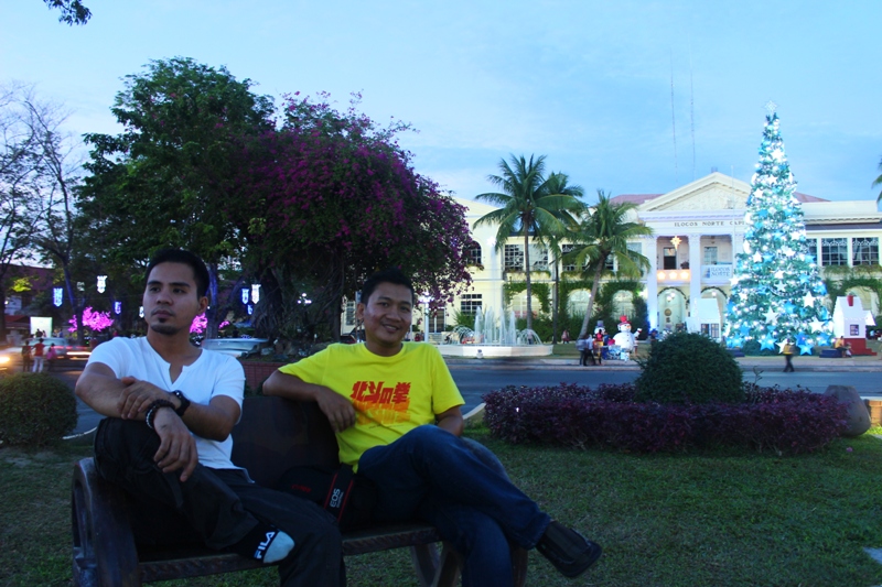 With the Ilocos Norte Provicial capitol behind us. |
More walking...
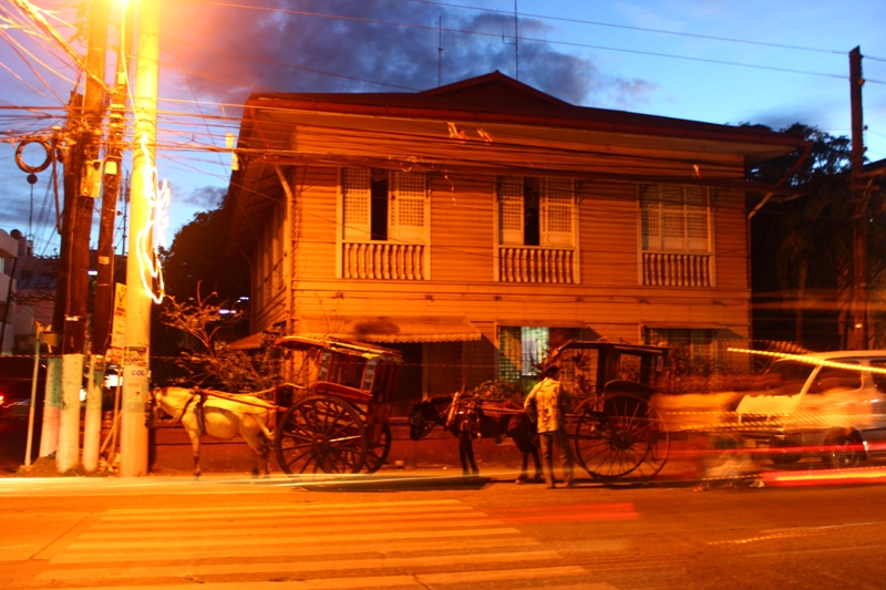 Horse carriages locally known as kalesa.
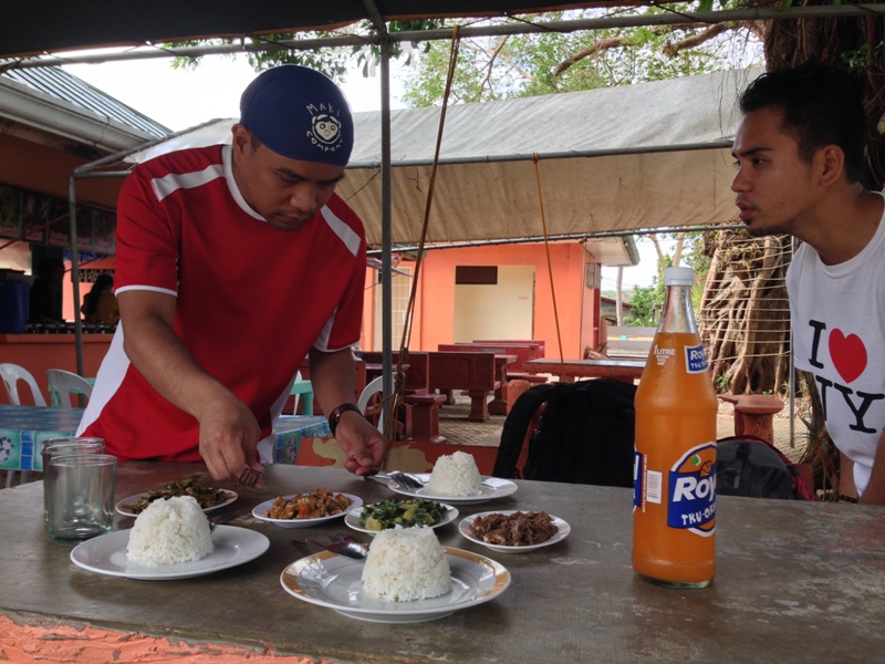
 Upon our city walk we also saw a number of kalesa's or horse carriages that go around the city and they come at affordable hourly rates. Come 6PM, we decided to walk by Rizal Street to look for a local restaurant best known for Ilocano dishes. We may be Ilocano coming from abagatan (south) but we wanted to taste the dishes the prepared the amianan (north) way. Before this trip, I made a search in the internet where the best restaurants are in Laoag. I had two names, one of which is the La Preciosa. We asked a traffic enforcer near the capitol and pointed us to the direction of the said restaurant. We walked a few blocks along Rizal street until we found what were looking for.
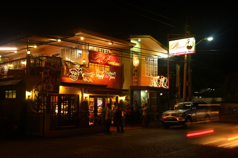 La Preciosa Restaurant.
 At La Preciosa, we asked for their house especialty. We ended up ordering pinakbet with bagnet, sinigang and poqui-poqui ( eggplant dish with egg and lots of tomatoes and onions). Food was so delicious and service was great. I paid our dinner by the way.
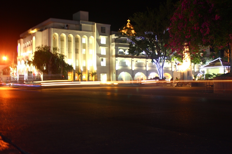 The city at night.
 It was still early (7PM) that we decided to take a walk back at the city center. We joined the crowd by the giant christmas tree at the capitol grounds. There was this snow machine also that blows foam out of the snowhouse.
By 830PM, we were back at our hotel room to rest. We plan to attend the morning mass the following day besides its gonna be a long trip tomorrow to the northern towns of Ilocos Norte.
December 21, 2013 Laoag - Bangui and Burgos
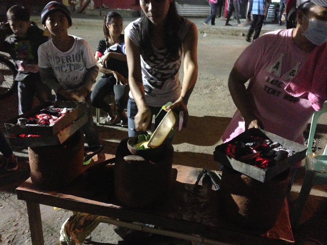
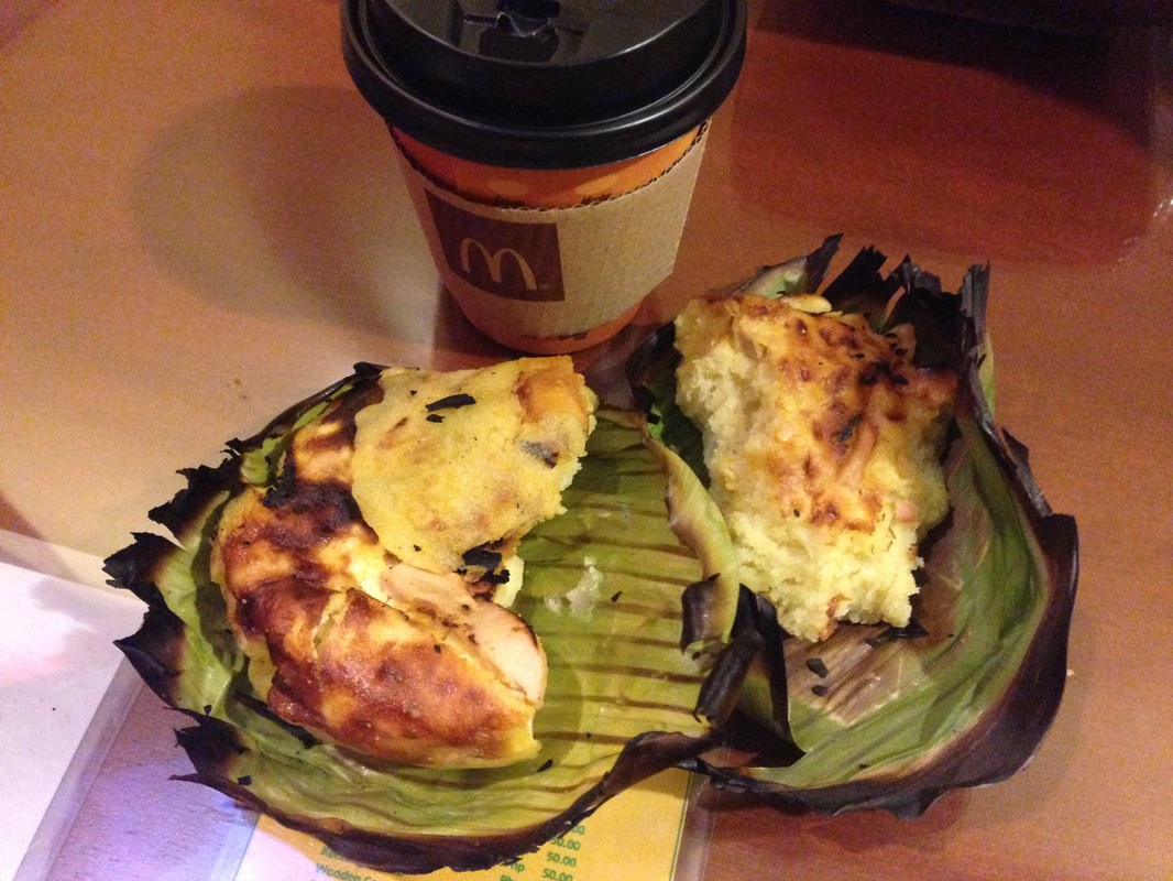
Emerson and I woke up at 330AM to attend the 4AM mass at the cathedral. Oliver opted to stay because of our differences in faith. After the mass, Emerson and I bought bibingkas (filled with slices of red egg) at a vendor and partnered it with coffee from a fastfood store.
The Megastructures of Bangui
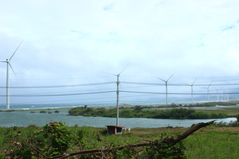 The Bangui windmills from the road.
 We were supposed to leave Laoag after breakfast but Emerson had some errands to do. We rode a Pagudpud bound bus located at the terminal behind the provincial capitol. We left Laoag City by 910AM with a route info going to Bangui windmills, Burgos Kapurpurawan rock formations and Cape Bojeador lighthouse. I said to the conductor to drop us at Brgy. Baruyen where the drop off point to the windmills. Idiay to traysikelan (at the tricycle station), asked the conductor and I answered with wen manong (wen is the local word for yes and manong can be used as a sign of politeness to someone older). I paid PhP150 for the three of us. The countryside gave us a different view with plenty of river streams and vast plantations of corn, onions and garlic. I saw some tobacco plants on some farms. There was this dragonfruit plantation too. The cold breeze of amihan (northeasterly wind) was felt since the bus is ordinary with the window shades up. Sierra Madre can be found on the eastern side of the road. Soon, a view of the coastline was seen as we traverse Burgos. I transferred to a vacant seat upfront as we neared Bangui so as not to miss where we were going to stop. I got excited when I saw the welcome arch of Bangui and passed by the windmill viewdeck. We got down the bus just before the Baruyen bridge by 1030AM. We approached a tricycle where I did the arrangements and some haggling with the driver. Kuya Rolly, the driver, was surprised that we were speaking the local dialect. He told us that he can be hired for PhP500 with the arrangements that he take us to the windmills then have a tricycle transfer. According to him, there is an ordinance that their tricycles cannot travel to Burgos town but can only transfer us to the drop off point to Kapurpurawan rock formations, which is part of our travel itinerary.
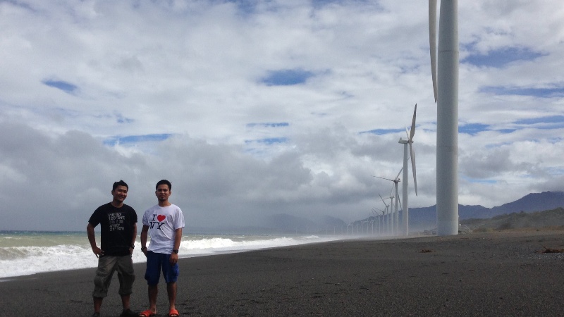
The Bangui windmills is also named the Northwind Bangui Bay Project consisting of 20 onshore windmills with a total capacity of 33MW. For more information about the Bangui windmills, please check the internet or click on this link, http://en.wikipedia.org/wiki/Bangui_wind_farm .
Kuya Rolly took us first on the station between windmill number 5 and 6. The wind was so strong and sea was spraying towards us. Emerson and Oliver got wet from the crashing waves because they got too close looking for angles for that perfect shot. Even the sand blown by the strong wind hits like a swarm of ants on your legs and we have to be very careful with our eyes for that matter. I could not take a lot of good shots because of the sea spray. I was trying to protect my gadgets from being damage. I asked Kuya Rolly if the wind power is the same the whole year round and he answered that it is only during last quarter of the year that waves swell and wind blew that strong because of the northeasterly wind or the amihan. Later we went to the first windmill giving us a panoramic view of the 20 windmills lined up on the shore facing South China sea. Good thing the weather cooperated that day since it was so cloudy that it threatens to rain.
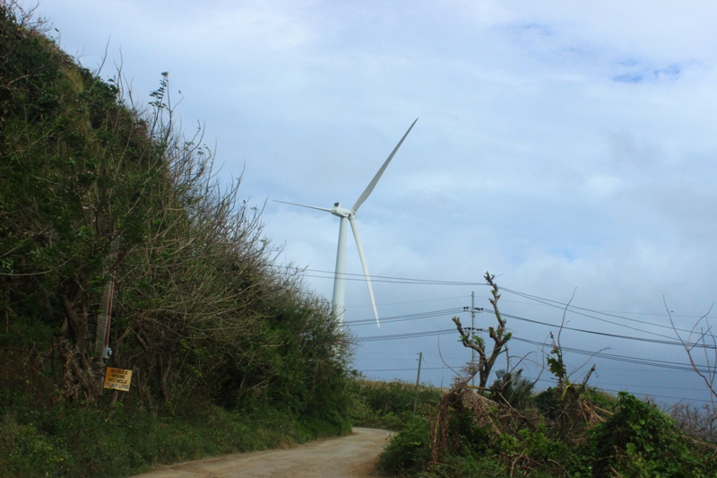 Getting closer to the windmills. 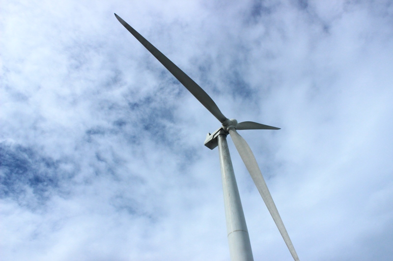 Specs: 70 metres (230 ft) high, with 41 metres (135 ft) long blades, with a rotor diameter of 82 metres (269 ft). 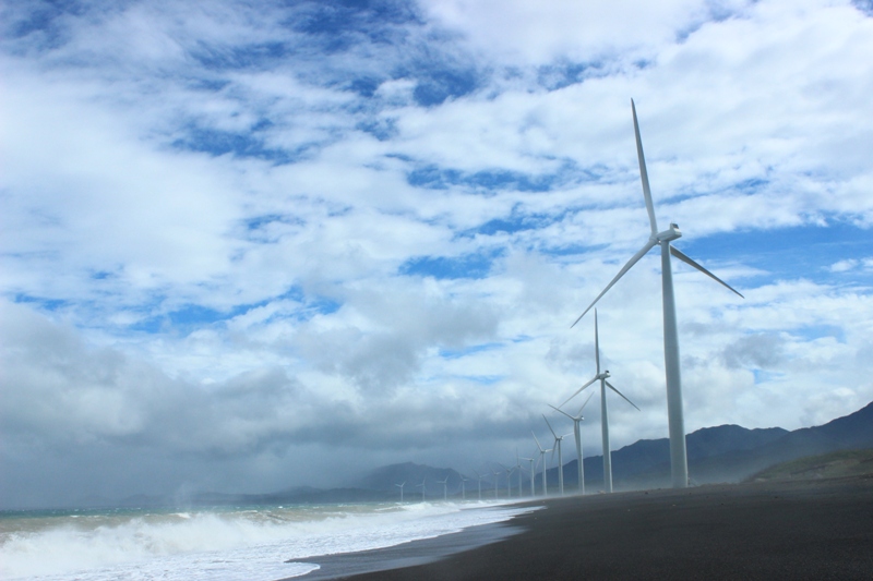 Marveled at this engineering feat.  Observing and hearing the sound as the blades rotate. 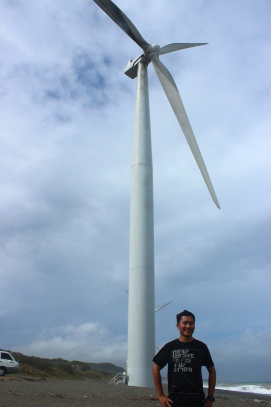 Me at the fifth windmill. | 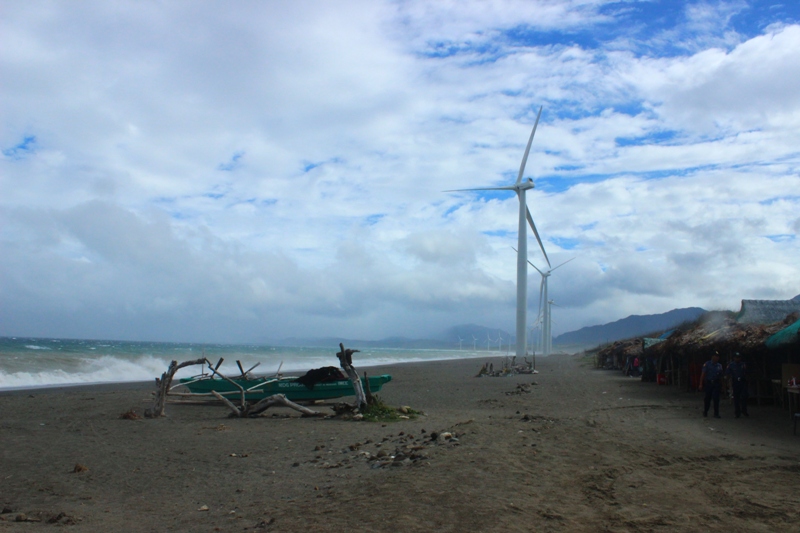 A shot of the 15 windmills lined up along a nine kilometer shoreline on Bangui bay. 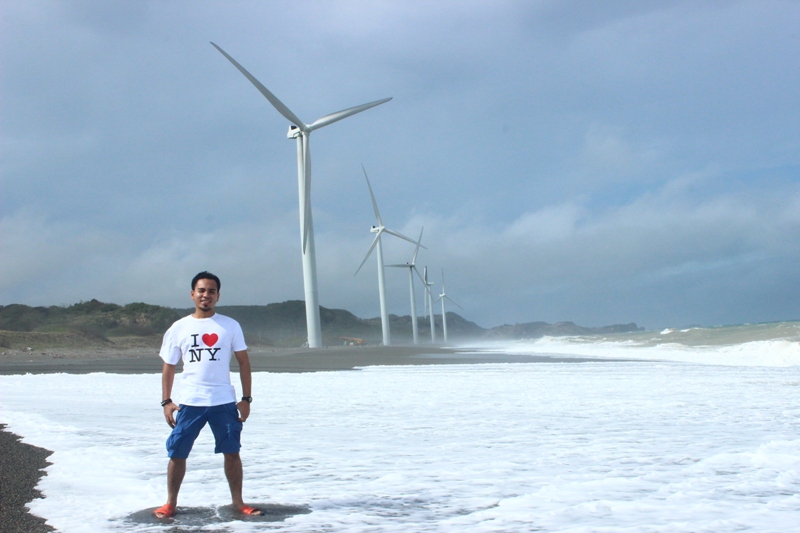 The first five windmills.  Taking the challenge: battling the elements.  A photoshot by the door. 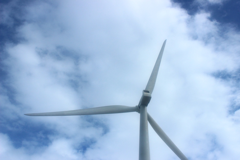 The wind farm uses 20 units of 70-metre (230 ft) high V82 1.65 MW wind turbines supplied by Vestas Wind Systems. 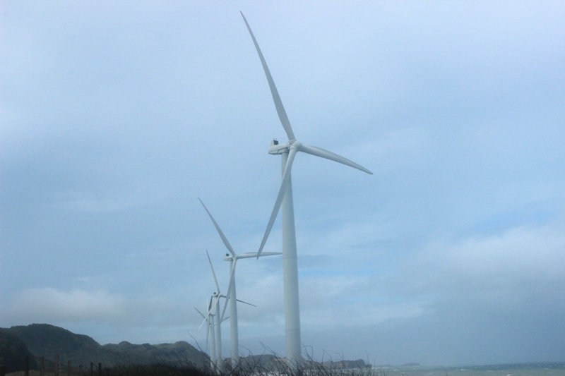 Wind power. |
I was reminded of Danny Foster hosting Extreme Engineering for Discovery Channel for this engineering feat. I think the structures were featured on National Geographic for being the biggest in Asia that is why most of the souvenir shirts has the logo of the said show. I would not talk about copyrights here. Having a degree of engineering, I really marveled to this project.
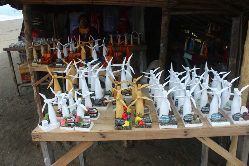 Wood carved windmills as souvenir items. 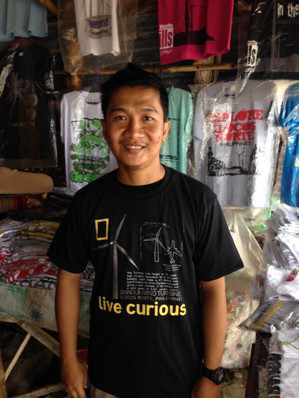 Live curious shirt. 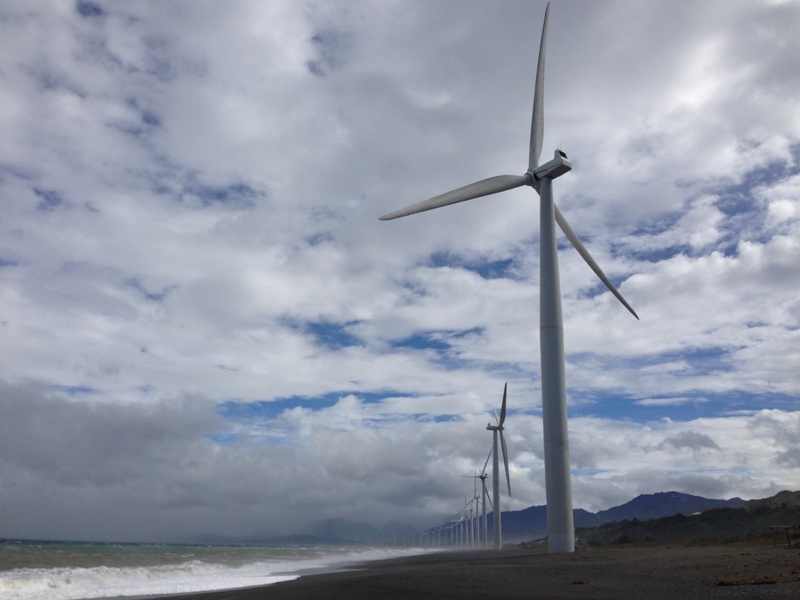 Bangui wind mills: Megastructures of the north. | 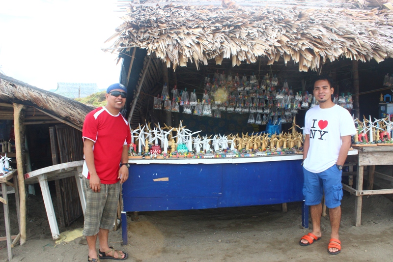 More souvenir shops. 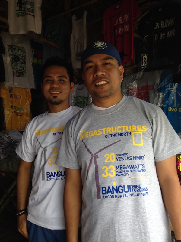 Megastructures shirts. 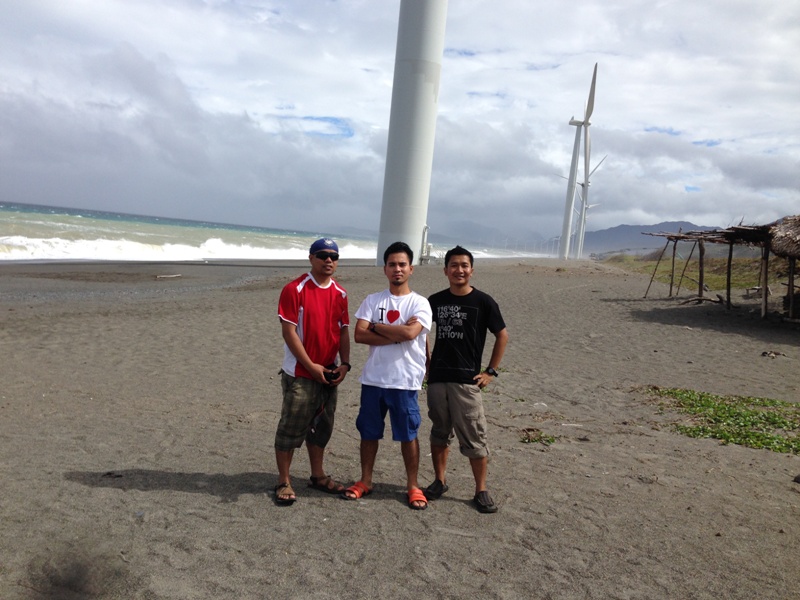 Amianan biyaheros. |
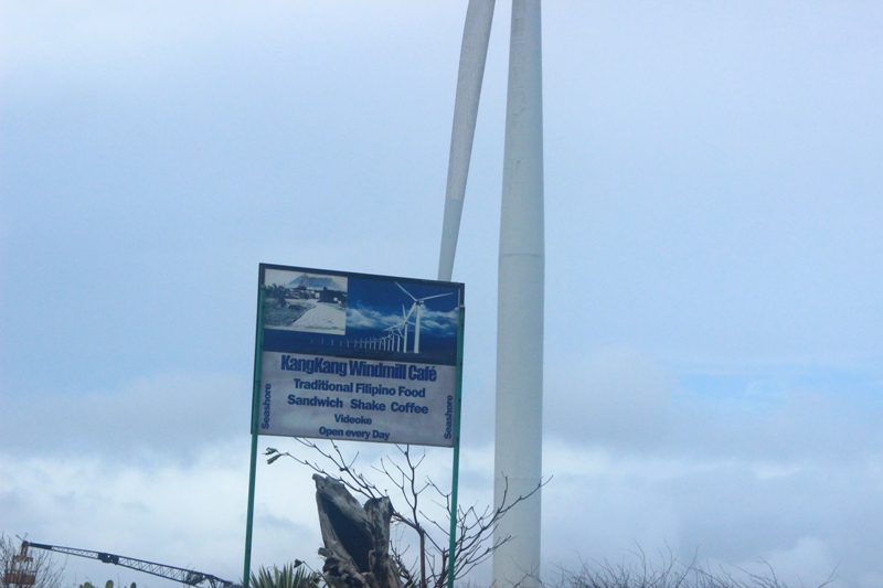
On our way to the first windmill, I saw this eatery along the way. Well, the name doesn't sound good if you are Tagalog. The name of the cafe is derived from the name of the place, Sitio KangKang.
The Northwestern Light : Cape Bojeador Lighthouse
Kuya Rolly took us to the Kapurpurawan rock formation drop off point by 1230PM. He told us that the rate for our next trip is Php300. It took us around 15minutes from the windmills to the drop off point. Then we change tricycles and made our arrangements to the other driver. He said that he take us first to the lighthouse then to Kapurpurawan rock formation after. We traveled south until we reached the sign showing the direction of the lighthouse. It was an uphill climb towards the structure. We were starting to feel hungry but there's no time for that. We still have plenty to discover. Emerson bought a pack of milk candy (pastillas) to keep us going.
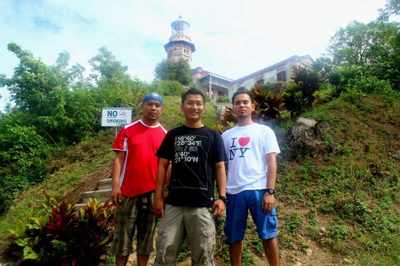
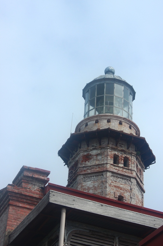
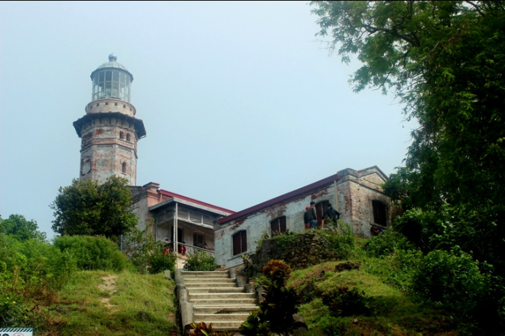
Cape Bojeador lighthouse or Burgos lighthouse is a part of the cultural heritage of Burgos, Ilocos Norte. It is situated on Vigia de Nagpartian Hill and was built during the Spanish colonial period. It was first lit on March 30, 1892. The lighthouse can easily be spotted from the highway below.
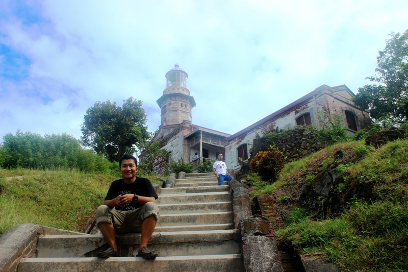 The stairs on the hill leading to the lighthouse. 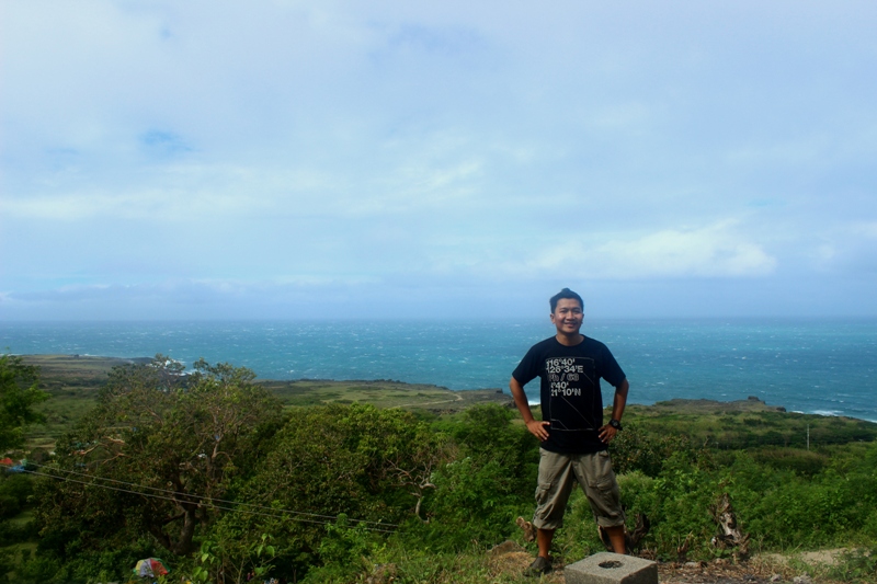 The rocky shores of Burgos.  The stairs leading to the building. | 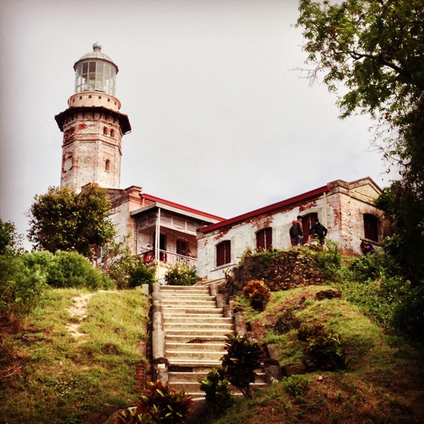 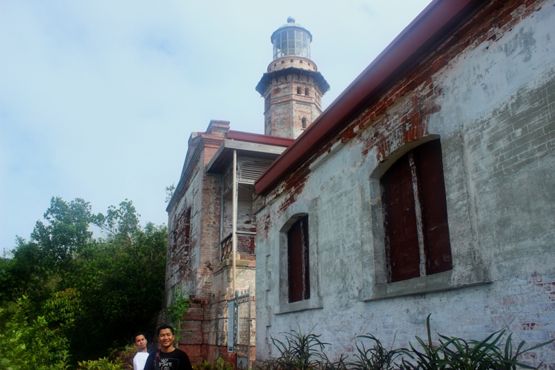 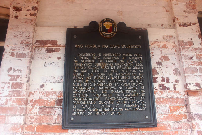 |
Part of the lighthouse was a mini musuem where old photos and a diorama can be seen. The lighthouse beam comes from a modern electric lamp powered by solar cells. A great view of the rocky shores can also be seen on the west.
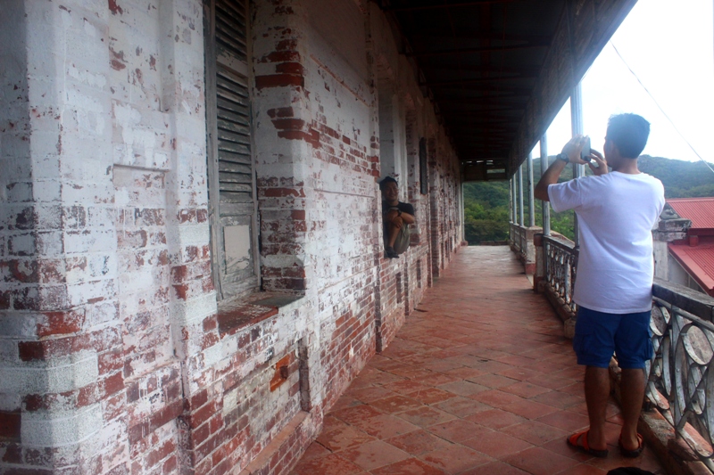 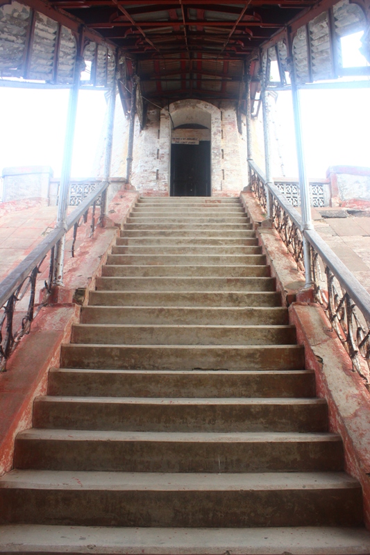 Steep climb going up the lighthouse. 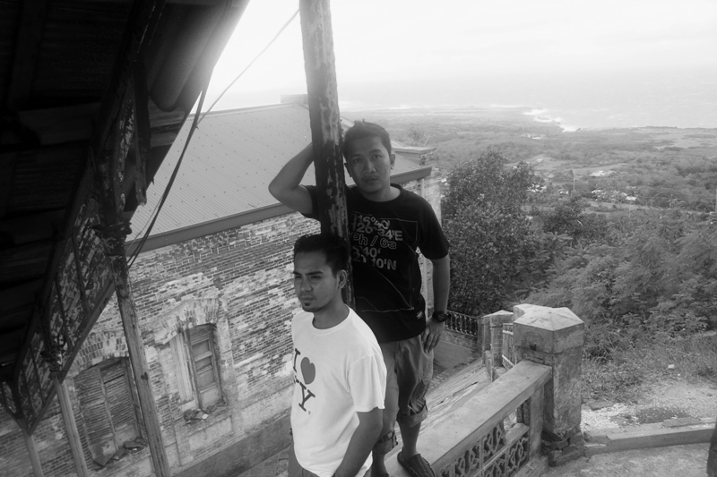 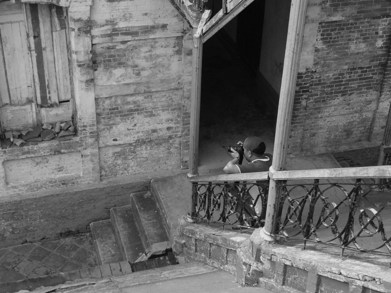 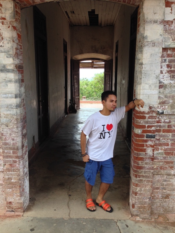   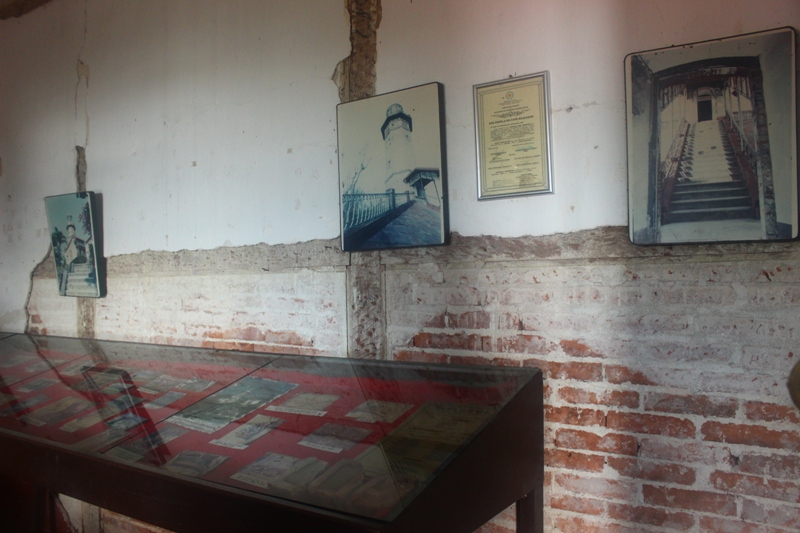 Museum part. 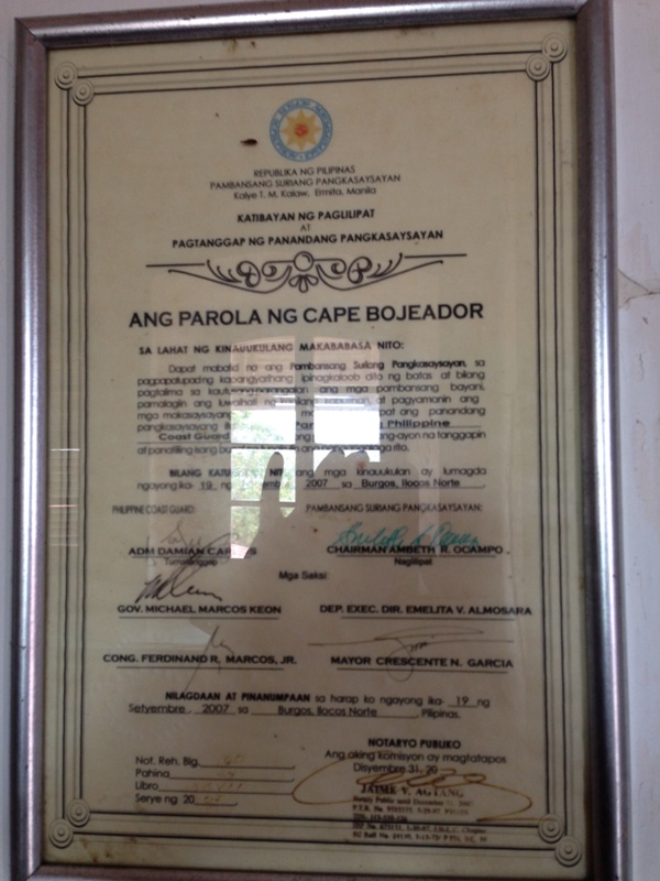 | 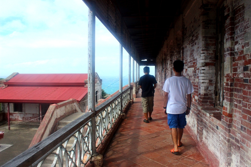 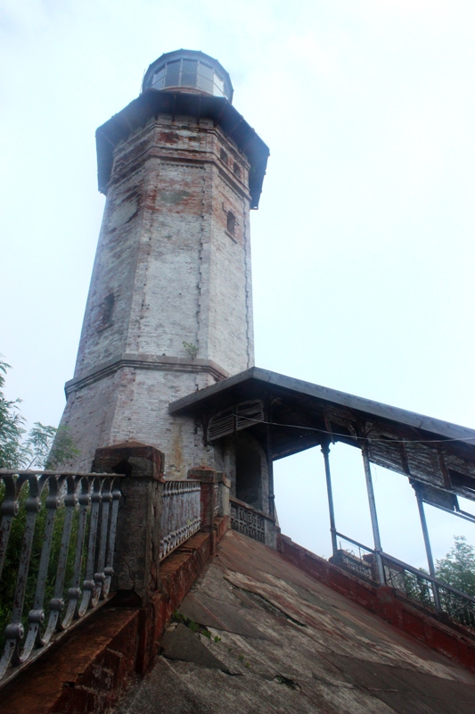 The lighthouse. 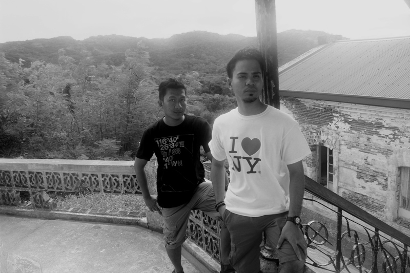 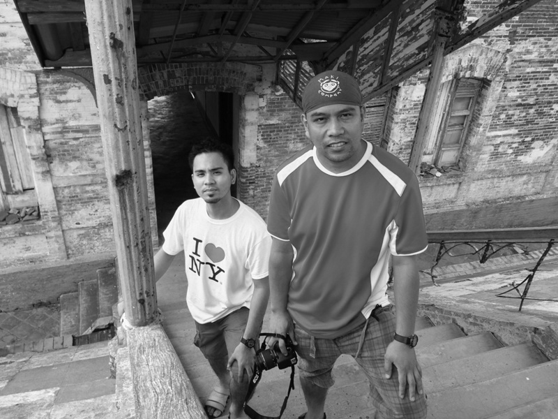   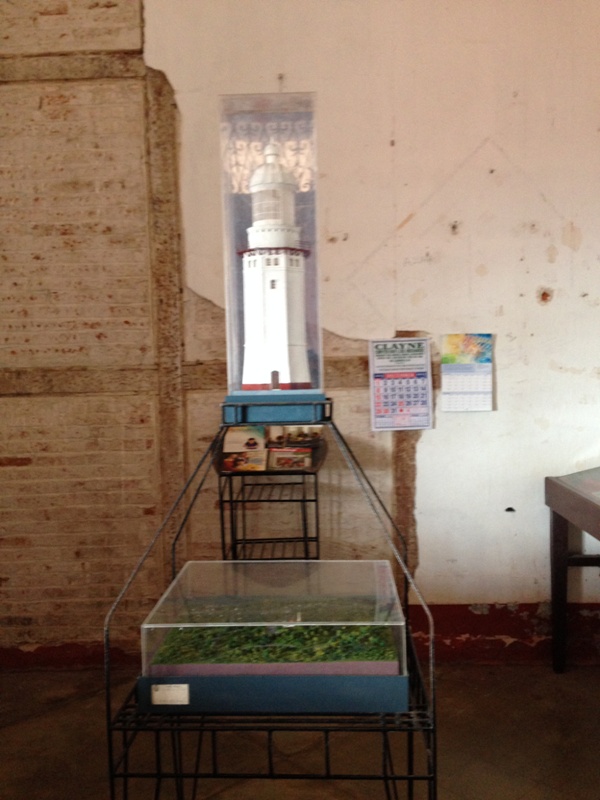 Diorama and lighthouse models. |
This National Historical Landmark should be part of anyone's itinerary when traveling to Ilocos Norte.
Kapurpurawan Rock Formation
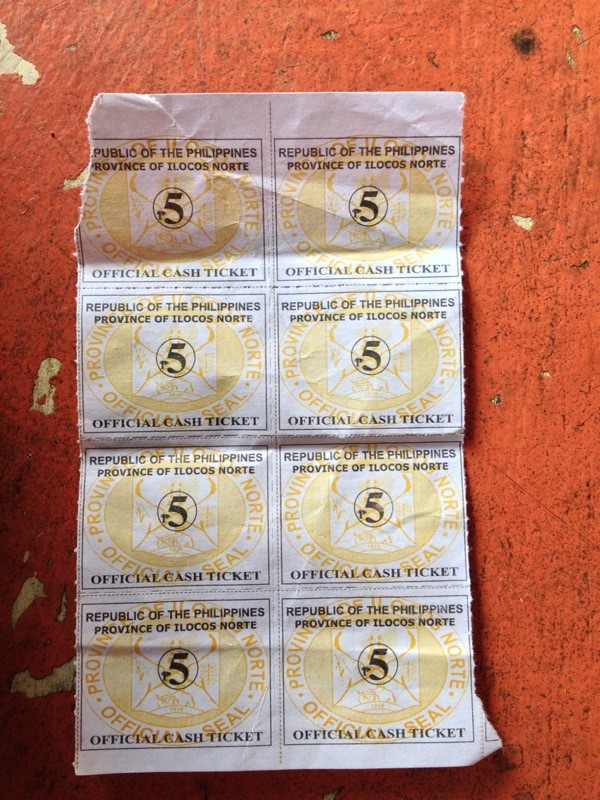 Entrance fee tickets.
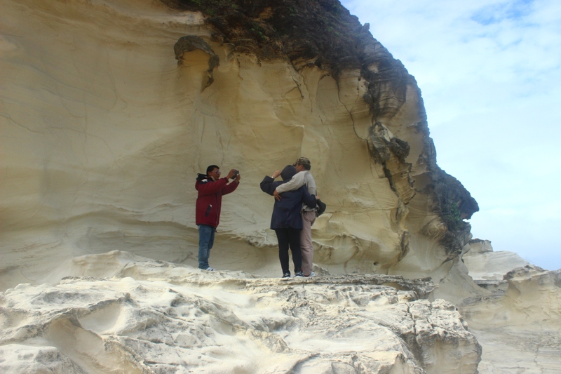
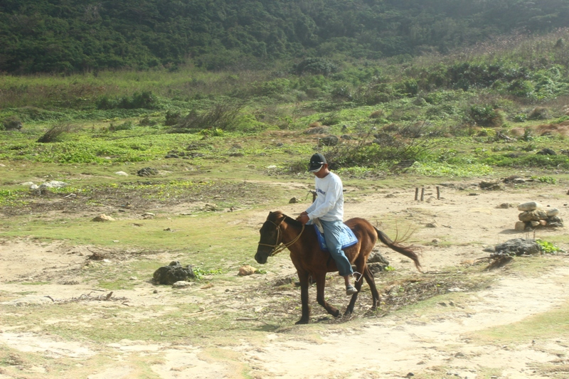
 We left the lighthouse by 1PM with our route info to be the Kapurpurawan rock formations. There is an entrance fee of PhP15 for adults to be paid at the registration nipa hut. After paying the fees and registered our names, I rode back the tricycle and it took us another 10 minutes going to the site. Along the way, we noticed construction activities for the installation of additional windmills at the area. That is the phase 3 of the windmill project. Even with the presence of hills on the area, one can feel the strong wind blowing in our direction. Grasses seem to bow down on the ground due to the blowing of the wind. Once at the parking area, Kuya Arseneth, the driver pointed us to the direction of the rock formation. He stayed behind to keep an eye on our bags. It was another 5 minute hike from the hill to the site. As we go down the tunnel of overgrowth, we saw a stable of horses at the shore. They can be rented for horse backriding if you don't want to walk. It was a good exercise though with the otherwordly sight around us: rocky landscape, large waves colliding on the high rock walls, different species of plants. You just have to follow the marked path towards the view deck.
 The parking lot. 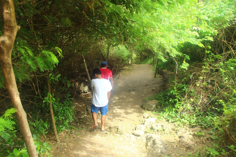 A walk under the bushes and trees. 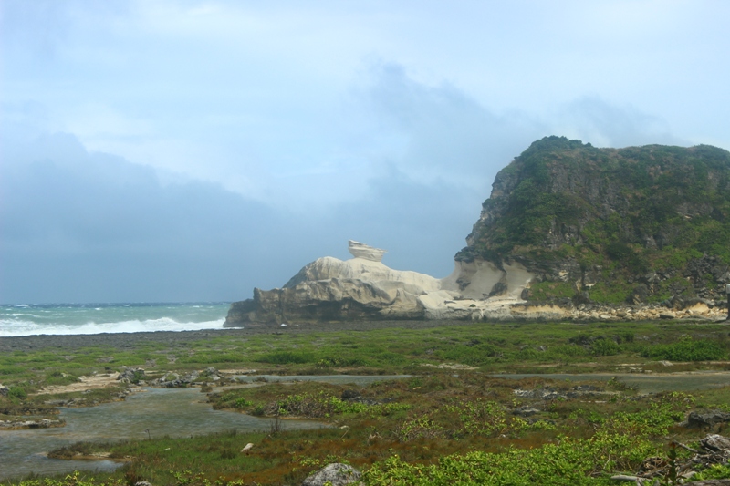 Kapurpurawan rock formation. 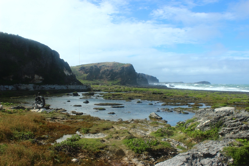 Breathtaking scenery. 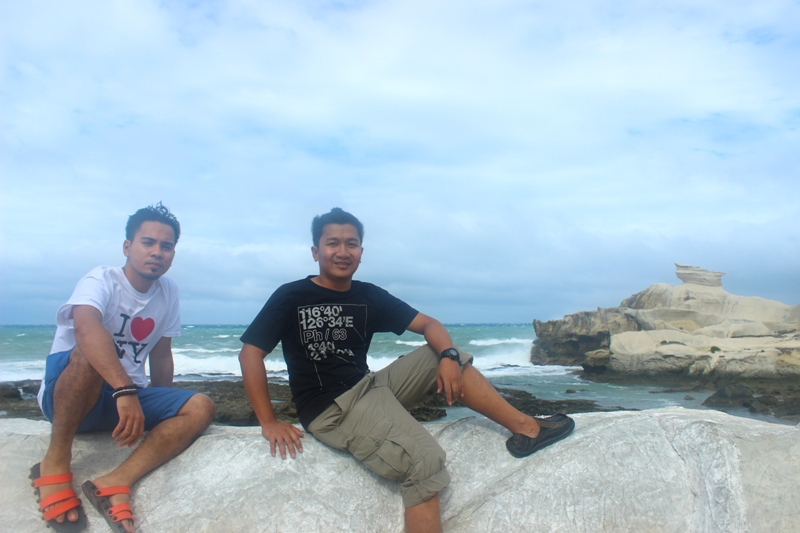 At the viewdeck. 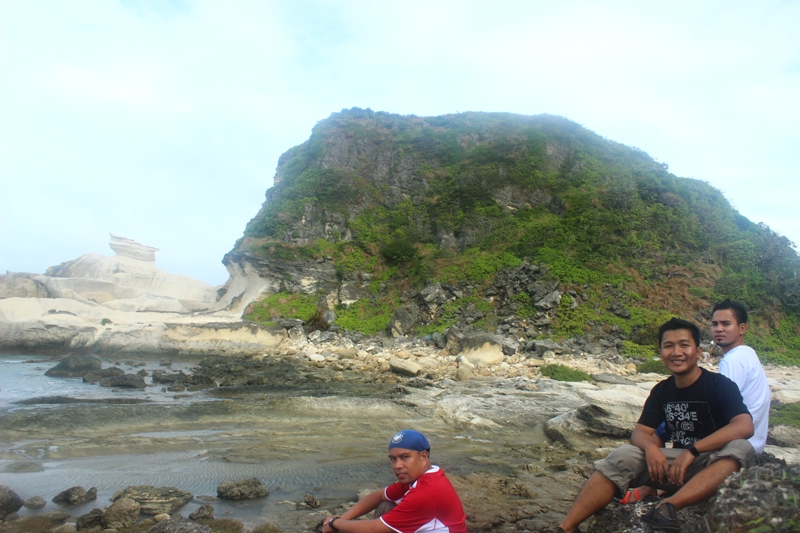 The amianan biyaheros. 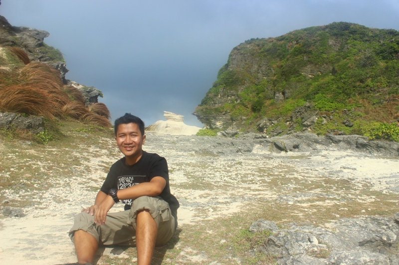 Am I still in the Philippines? | 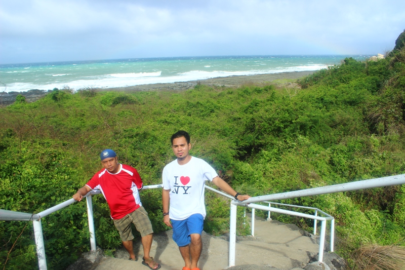 The stairs leading to the shore. 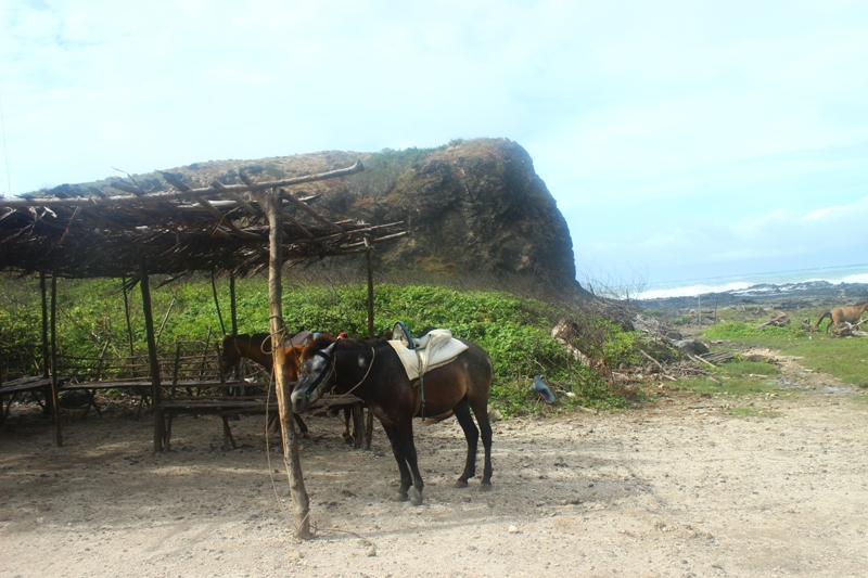 Horses for horse backriding.  A Bertong Bayawak scultpure by renowned Ilocano-Ibaloi Paul Quiano. 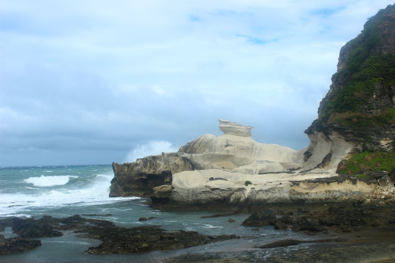 A closer look at the rock formation. 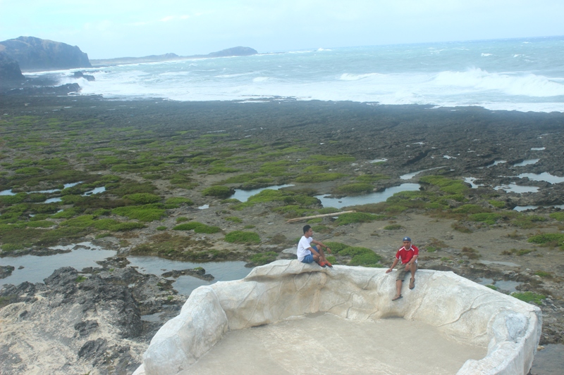 The viewdeck and the scenery around.  Going up the rock wall. 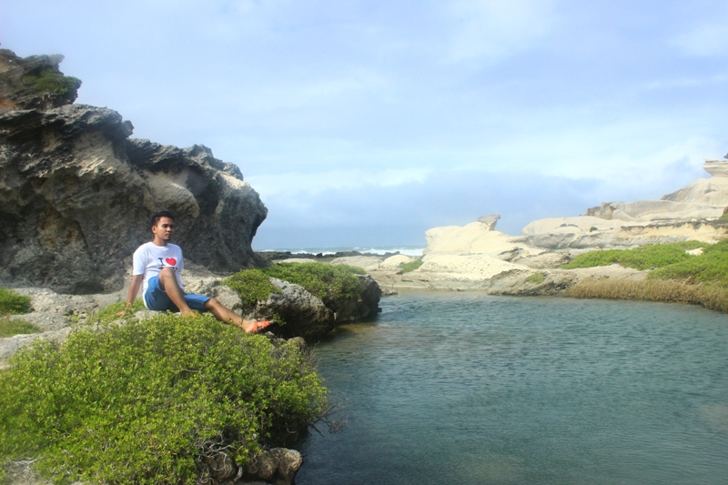 Yes, this is Philippines. |
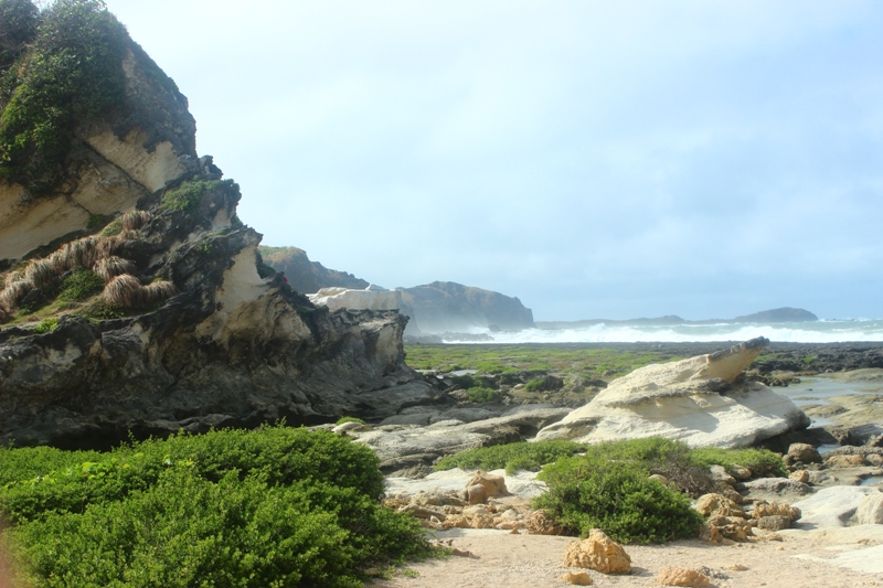
The Kapurpurawan rock formation is a distinct formation of white sandstone carved by the weathering and erosion. Waves and wind power contribute to the shaping of the rocks. Kapurpurawan is whiteness in Ilocano because of the rock colors. A portion of the site is closed to the public so as to prevent the fast erosion of the porous sandstone.
We checked out the other side of the hill and saw more of the carved scenery. Kuya Bong, a local guide, stands there to keep visitors from going to the off limit side of the area. He was kind enough to take photos of us.
We checked out the other side of the hill and saw more of the carved scenery. Kuya Bong, a local guide, stands there to keep visitors from going to the off limit side of the area. He was kind enough to take photos of us.
 Kuya Bong taking the photos of visitors. 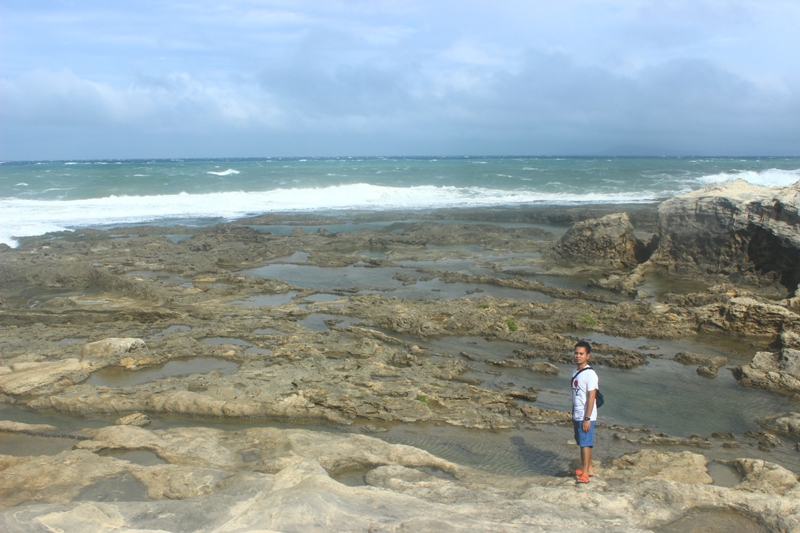 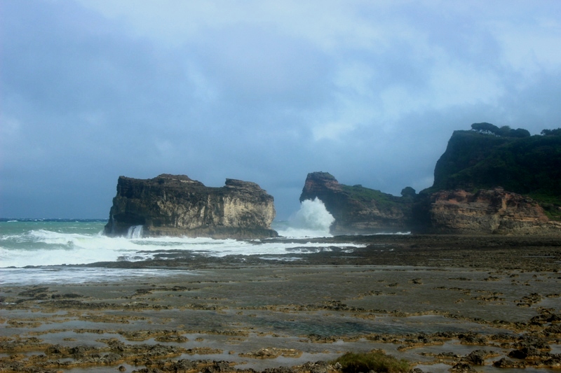 Huge waves crashing to the rock walls.  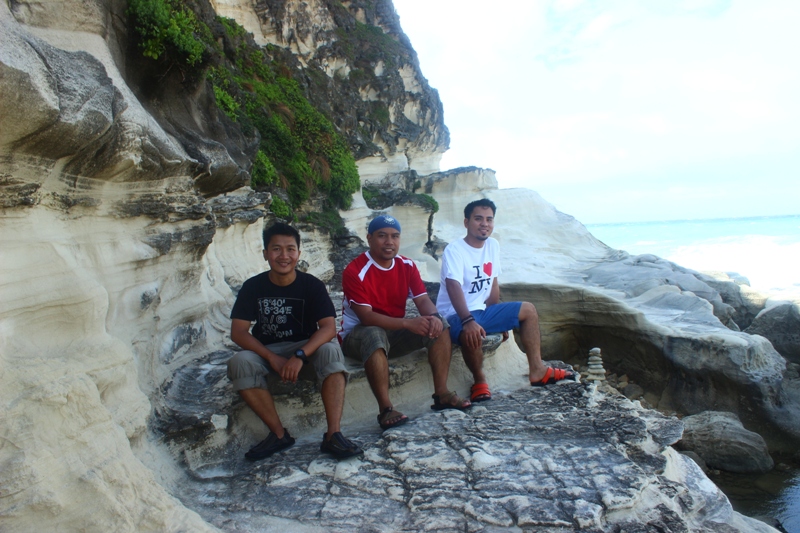 |  Brrr! It's so cold. 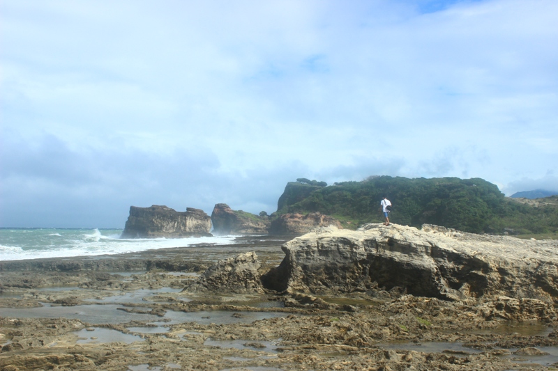 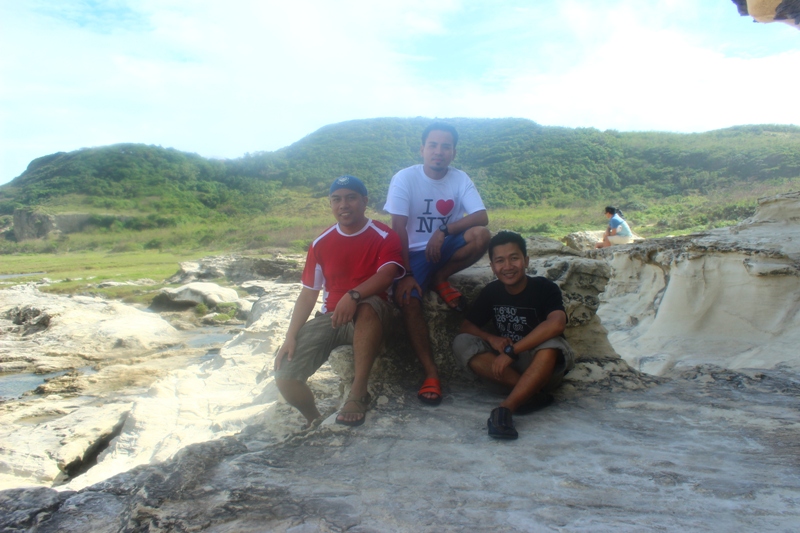 Amianan biyaheros. 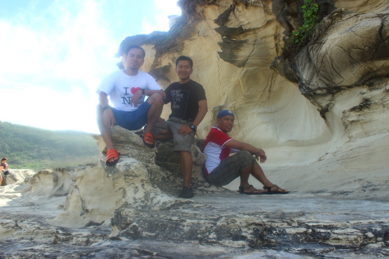 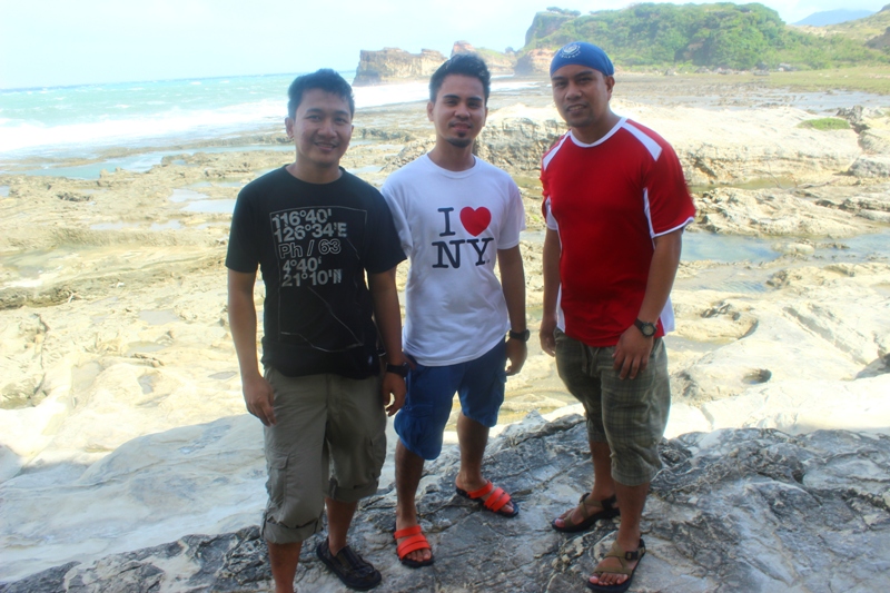 |
 |  |
Change of plans at Burgos-Laoag
Come 215PM, we left the area and adviced Kuya Arseneth to bring us to the town. We added PhP100 on top of the PhP300 for his services. Besides, I think we spent too much time on the rock formations. At Burgos town, we had a late lunch at an eatery. During lunch, Emerson suggested we spend the night at Vigan. He enjoyed the trip too much that he wants to extend our trip. We were supposed to travel back to La Union after arrival in Laoag but change of plans. By 315PM, we were already on the bus bound to Laoag for the bus transfer going to Vigan. The Vigan trip will be told on another blog. The whole ilocos Norte trip was worth every centavo spent. I was travelling with cool guys too.
 Late lunch at Burgos town. | 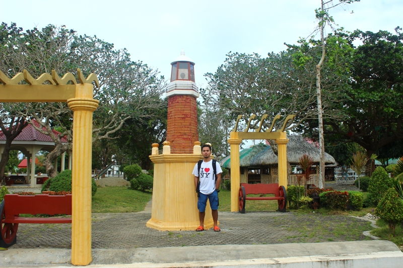 At Burgos plaza. |
“All the pathos and irony of leaving one’s youth behind is thus implicit in every joyous moment of travel: one knows that the first joy can never be recovered, and the wise traveler learns not to repeat successes but tries new places all the time.” – Paul Fussell
 RSS Feed